The Geography and Reality of the Circular Route
Completing the circular voyage around eastern North America requires traveling anywhere from five thousand to over six thousand statute miles, depending on the side excursions you choose. The passage incorporates the Atlantic Intracoastal Waterway, the historic canal systems of the northeast, the interconnected Great Lakes, the inland river network, and the protected bays along the Gulf Coast. Most boaters take between nine and twelve months to complete the circuit, though some split the adventure across multiple years by storing their vessel in different regions between cruising legs.
When planning such a journey, understanding the flow of water and changing navigation conditions is critical. A standard loop boat trip heads counterclockwise, enabling vessels to ride downstream river currents along the major inland corridors rather than pushing against heavy volumes of water. You will experience everything from bustling commercial shipping channels and industrial lock chambers to shallow coastal sounds and remote anchorages. Knowing your comfort zone in variable conditions helps determine how quickly you move through each leg.
While dreams often focus on endless open horizons, the reality of cruising the loop involves constant logistical coordination, reading local navigation markers, managing bridge clearances, and tracking daily weather systems. Many recreational boaters view this voyage as the pinnacle of long-distance inland and coastal seamanship. Approaching the route with reasonable expectations about daily speeds, weather delays, and maintenance requirements ensures that the journey remains rewarding rather than exhausting over several months on the water.
Non-Negotiable Dimensions: Draft, Air Draft, and Beam
Before falling in love with a specific vessel design, you must understand the fixed geographical restrictions that define this circular passage. The most absolute restriction is bridge clearance, known as air draft. Near Chicago, Illinois, a fixed railroad bridge across the sanitary and ship canal enforces an overhead limit that typically hovers around nineteen feet, six inches. If your boat stands taller than this clearance—including non-folding radar arches, antennas, and mastheads—you cannot complete the traditional circuit without altering your vessel structure or following rare commercial diversions.
Water depth represents the second critical design limitation. To travel comfortably through shallow sections of the Atlantic Intracoastal Waterway, the Dismal Swamp Canal, and backwater river cuts, a vessel draft of five feet or less is strongly recommended. Boats drawing up to five feet can usually navigate the standard route without major groundings, provided captains respect tides and watch their depth sounders closely. Deeper drafts typically risk touching bottom or depend heavily on high tide schedules, adding significant stress to daily legs.
Beam, or the overall width of the hull, becomes a factor when choosing to transit specific Canadian canal systems or navigating narrow lock chambers. While standard locks along American river networks easily accommodate wide vessels, narrower canals in Canada or historic state passages place limits on overall width. A beam under fourteen or fifteen feet ensures easy passage through virtually every operational lock and makes finding slips in crowded transit harbors much more straightforward throughout your seasonal travels.
Evaluating Hull Styles for Long-Distance Cruising
Choosing the ideal vessel for this voyage involves balancing interior living comfort with fuel efficiency and mechanical reliability. Full-displacement trawlers remain a classic selection because they carry heavy fuel loads, offer deep keels that protect running gear, and sip diesel at modest speeds of seven to eight knots. These boats provide expansive storage, dedicated engine rooms, and stable living platforms, which matter immensely when living aboard continuously for nearly a year at a time.
Fast trawlers and semi-displacement motor yachts offer an alternative strategy that appeals to cruisers who want flexibility. While these hulls burn significantly more fuel when operating on plane, they allow you to push past twelve or fifteen knots when outrunning severe weather or crossing wide bodies of water. Many cruisers operate semi-displacement vessels at displacement speeds to conserve fuel, keeping the extra horsepower in reserve for challenging river currents or long open-water days across expansive coastal bays.
Catamarans and dual-cabin cruising tugs also find regular success along the waterway network. Sailing vessels can complete the voyage as well, but their masts must be stepped and unstepped using yard cranes before entering overhead-restricted canal routes, then carried securely on deck brackets or shipped across land. Regardless of the hull form you select, reliable mechanical access, dependable ground tackle, and efficient electrical charging setups matter far more than luxurious surface appointments.
Matching Route Milestones to Seasonal Weather Patterns
A typical seasonal schedule is dictated entirely by climate, regional hurricane boundaries, and freezing northern water locks. Cruisers generally spend the winter months exploring the warmer waters around Florida or the Bahamas. By early spring, usually around March or April, boats begin migrating northward along the southeastern Atlantic coast, pacing their arrival in the Mid-Atlantic to coincide with warming spring temperatures and the official opening dates of northern canal passages.
Summer belongs to the northern tier of the route. Cruisers spend June, July, and August exploring the historic channels of New York, crossing Lake Ontario, navigating the Georgian Bay, or touring the coastline where marinas in Michigan provide convenient access to pristine freshwater harbors. This window offers long daylight hours and pleasant cruising temperatures, though captains must monitor sudden summer squalls across open Great Lakes waters.
As September approaches, the seasonal window begins to close in the north. Locks typically reduce hours or shut down entirely for winter maintenance by mid-to-late autumn, and freezing risks emerge. Boaters gather near Chicago during late summer or early fall, entering the inland river channels to begin their downstream run toward the Gulf of Mexico before cold weather settles across the Midwest. Arriving along the northern Gulf Coast by late October positions cruisers safely south ahead of winter chills.
Navigating Working Rivers, Commercial Tows, and Locks
Transitioning from coastal sounds to the inland river system marks a dramatic change in seamanship. The Illinois, Mississippi, Ohio, Cumberland, and Tombigbee rivers are not recreational lakes; they are active commercial transit corridors shared with multi-barge towboats pushing thousands of tons of freight. These commercial vessels cannot stop quickly, require wide turning radiuses, and cast massive underwater wheel washes that can overwhelm small pleasure craft that drift too close in bends.
Clear, professional VHF radio communication is standard operating procedure on commercial rivers. Pleasure craft communicate with commercial towboat captains on channels 13 or 16, asking for passing instructions by specifying whether to pass on the one-whistle (port to port) or two-whistle (starboard to starboard) side. River captains are generally accommodating when approached politely and early, giving pleasure boaters advice on water depths, navigation hazards, and localized current eddies around river bends.
Lock transit is another daily routine on the inland rivers and northern canals. Inside a lock chamber, water turbulence can swing a boat violently if crew members are not positioned correctly with heavy roving fenders and long mooring lines. Unlike saltwater coastal cruising where docking involves floating piers, locking requires line handlers to manage changing vertical water levels by securing around vertical drop lines, recessed wall pins, or floating bollards provided inside the chamber.
Overnight Stops: Balancing Docks and Anchorages
Managing life aboard during this months-long passage requires a practical balance between anchoring in secluded coves and booking dockage at organized facilities. Dropping anchor offers peaceful evenings, zero nightly slip fees, and complete independence from busy harbors. Many sections of the Intracoastal Waterway and northern inland lakes offer protected anchorages with good holding ground in sand, mud, or clay, allowing properly equipped vessels to spend multiple nights off the grid.
However, prolonged travel demands regular shore access for fresh water, pump-out stations, shore power charging, and provisions. Finding facilities with transient slips along your route allows you to recharge domestic battery banks, perform engine oil changes, wash down salt spray, and explore surrounding river towns on foot. Many cruisers establish a rhythm of anchoring out for several days followed by a night or two at a well-equipped dock.
Marina availability varies significantly depending on regional popularity and seasonal migration waves. In northern canal towns, municipal docks often welcome cruisers with inexpensive dockage and basic utilities, while popular winter hubs down south see intense slip demand. Reviewing regional dockage options in advance helps avoid arriving at a crowded harbor at dusk without an available tie-up or safe anchoring alternative in falling light.
Cruising Associations, Burgees, and Community Networks
Taking on a long-distance cruise is rarely done in isolation, thanks to strong grassroots networks of fellow mariners. An active cruising association dedicated to the loop provides an invaluable framework for both first-time adventurers and experienced captains. Members fly distinctive colored burgees from their bow stanchions—typically white for vessels currently underway and gold for those that have crossed their wake to finish the entire circumnavigation.
Beyond social camaraderie, these networks deliver daily operational value. Cruiser forums, regional harbor hosts, and member-maintained tracking maps provide up-to-the-minute reports on shoaling areas, broken lock valves, temporary bridge closures, and fuel prices. When unexpected mechanical issues happen far from home, local harbor hosts often assist by recommending reliable mechanics, driving crew to parts stores, or suggesting protected anchorages in emergency weather situations.
Participating in rendezvous and seminars organized by cruising groups before departing helps demystify the route and clarifies gear preparation. Connecting with mariners who recently navigated the same passages allows you to hear direct feedback about navigation app reliability, cellular coverage dead zones, and the real-world performance of various boat models. This collective wisdom saves countless hours and prevents costly mistakes on the water.
Budgeting for Fuel, Maintenance, and Operating Costs
Estimating the overall cost of this circular voyage depends largely on your lifestyle choices, vessel size, and daily cruising speed. Fuel consumption constitutes one of the largest ongoing expenses. A slow-moving diesel trawler running at eight knots might burn two to three gallons per hour, whereas a twin-engine motor yacht cruising on plane can consume twenty to thirty gallons per hour. Over several thousand miles, this variance changes the trip budget by thousands of dollars.
Dockage costs follow a similar sliding scale depending on your mix of anchoring and marina stays. Transient rates are typically calculated by the foot per night, and fees can be modest in municipal river basins or quite steep in premier resort destinations across South Florida. Integrating regular anchorages into your travel itinerary dramatically flattens monthly living expenses while offering some of the most memorable natural scenery along the entire passage.
Routine maintenance reserves must also be integrated into any financial plan. Running engines and generators for hundreds of hours over a single year requires multiple fluid changes, impeller replacements, filter changes, and fuel polishing. Having a dedicated contingency fund ensures that an unexpected alternator failure, damaged propeller, or haul-out requirement does not bring your voyage to a premature halt in a remote river town.
Essential Onboard Gear, Electronics, and Safety Systems
Reliable navigation equipment is paramount when transiting poorly charted river channels and tidal waters. Modern electronic chartplotters paired with up-to-date digital cartography provide the baseline, but experienced loopers always maintain redundant navigation tools. Carrying secondary navigation tablets loaded with river charts and crowdsourced hazard markers allows captains to compare changing depth data and read recent mariner comments regarding shifting shoals or submerged debris.
Automatic Identification System (AIS) transceivers have become an indispensable safety tool along commercial river ways. AIS broadcasts your vessel position, course, and speed to surrounding vessels while displaying commercial towboat traffic directly on your chart screen. Knowing the name and heading of an approaching commercial pushboat miles before rounding a blind river bend makes VHF contact straightforward and removes dangerous guesswork in restricted channels.
Mechanical redundancy extends to domestic systems as well. Because you will spend extended stretches away from full-service boatyards, carrying spare water pumps, belts, fuel filters, electrical fuses, and basic plumbing parts is essential. A reliable auxiliary generator or robust solar panel array paired with lithium or AGM battery banks guarantees that refrigeration, navigation electronics, and safety pumps remain fully powered when swinging on an anchor miles from the nearest town.
Selecting Departure Points and Running Shakedown Trips
Because the route forms a closed loop, you can technically start from anywhere along the waterway system that suits your personal logistics and home port. Many cruisers purchase their boats along the East Coast, departing northward as the spring season opens, while others launch from southern rivers or northern lake ports. Using our directory of marinas helps identify potential base harbors that offer fuel, repair services, and secure slips for your initial staging.
For boaters starting in northern waters, staging near the Hudson River allows an early launch toward the canal networks, where marinas in New York can provide mast unstepping services and final provisioning. Conversely, those starting in the south can take advantage of the expansive boating infrastructure where marinas in Florida offer extensive refit yards, marine surveyors, and winter staging grounds before setting off on long coastal stretches.
Before casting off on a year-long voyage, conducting multiple shakedown cruises is vital to long-term success. Spend several consecutive days running all onboard machinery, testing your windlass in deep anchorages, exercising the generator under heavy load, and practicing close-quarters maneuvering with your crew. Identifying loose connections, leaking seals, or crew handling misunderstandings close to home ensures that your departure day begins with confidence rather than anxiety.
Published 2026-09-21 · reviewed with each rebuild, last September 2026.
Find marinas near you
The directory lists 7,143 marinas by state and city — pick your state or use the “Near me” button in the header.
More guides
-
 Safety
Boat Fire Extinguisher Inspection: Schedule, Checklist, and Costs
-
 Money
MoneyBoat Club Membership Costs: Initiation Fees, Monthly Dues, and Ownership Comparison
-
 Storage
Boat Winterization and Storage: Costs, Checklist, and Shrink Wrapping Guide
-
 Storage
Boat Slips and Docking Fees: How Much Does It Cost to Keep a Boat in the Water?
-
 Owning
Essential Nautical Terms and Practical Boating Knowledge: From the Helm to Harbor Life
-
 Owning
A Practical Guide to Boat Mooring: Buoys, Lines, and Technique
-
 Safety
Essential Boat Safety Gear, Marine Electronics, and Equipment Guide
-
 Service
Outboard Engine Service and Rebuild Costs: What Boat Owners Should Expect to Pay
-
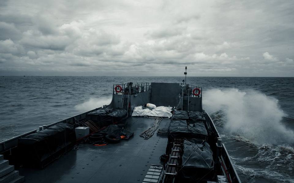 Safety
Marine Weather Forecasts and Warnings: Reading NOAA Reports and Coastal Maps
-
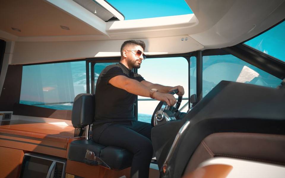 Safety
Boating Safety Certification and Licensing: State Requirements and Exam Prep
-
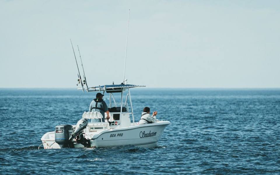 Service
Saltwater and Freshwater Fishing Charters: Choosing Inshore, Offshore, and Deep Sea Trips
-
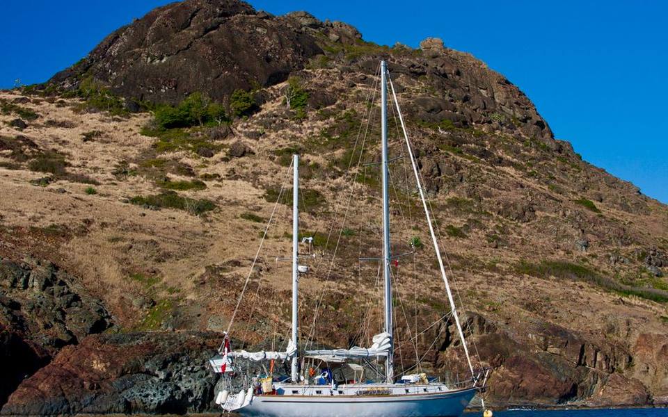 Owning
Bareboat Yacht Charters: How to Rent, Qualifications, and Cruising Preparation
-
 Buying
Pontoon & Tritoon Boats: Buying, Renting, Models, and Pricing Guide
-
 Owning
Holiday Boat Parades and Coastal Festivals: Viewing Guide and Schedules
-
 Buying
A Complete Guide to Buying Used Boats: Valuations, Inspections, and Registration
-
 Owning
Waterfront Dining and Dockside Restaurants: Boater's Guide to Dock and Dine
-
 Owning
Dockside Bait Systems, Live Bait Sourcing, and Fish Cleaning Station Setup
-
 Safety
Marine Fire Safety Inspection and Extinguisher Maintenance
-
 Storage
Complete Guide to Boat Winterization, Shrink Wrapping, and Storage Covers
-
 Buying
Electric Boat Motors and Trolling Systems: The Practical Conversion Guide
-
 Owning
A Practical Guide to Public Boat Launches, Kayak Ramps, and Water Access
-
 Owning
Marine Lithium Batteries vs AGM: Setup, Charging, and Performance
-
Service
Boat Fiberglass & Gelcoat Repair Guide: Fixing Cracks, Blisters & Scratches
-
Service
Marine Fuel Tank Cleaning and Rust Removal Guide
-
Safety
USCG Captain's License Guide: OUPV 6-Pack Requirements and Renewal
-
Buying
Boat Dinghies and Inflatables Guide: Types, Motors, and Selection
-
Service
Boat Towing Services and Marine Assistance Memberships Explained
-
Owning
Boat Lettering, Registration Numbers, and Custom Vinyl Decals
-
Service
Outboard Motor and Lower Unit Maintenance, Repair, and Marine Diesel Guide
-
Buying
Shallow Water Anchor Systems: Power-Pole vs. Minn Kota Talon & Raptor
-
 Service
Complete Guide to Marine Bottom Paint and Antifouling Application
-
Service
Boat and Fishing Charters: Complete Guide to Styles, Rates, and Booking
-
Buying
Personal Watercraft and Jet Ski Guide: Models, Rentals, and Buying
-
 Owning
Marine Supply Stores and Chandleries: Outfitting Your Boat
-
Safety
Marine Weather Forecasts and NOAA Wave Reports: A Practical Boater's Guide
-
Safety
USCG Boat Registration, Boater Education, and Navigational Safety Rules
-
Owning
Marine Lithium Batteries, Solar Panel Systems, and Trickle Charging Guide
-
Service
Boat Trailer Maintenance: Bearings, Replacement Kits, and Towing Prep
-
Safety
Marine VHF Radio Frequencies, Channels, and Electronics Setup
-
 Service
Complete Boat Hull Maintenance Guide: Washing, Acid Cleaners, Gelcoat Repair, and Antifouling Paint
-
Service
Fixing Inflatable Boat Leaks and Replacing Worn Bimini Top Canvas
-
Owning
Buoy Mooring Setup, Dock Lines, Cleat Hitch Knots, and Anchor Pins
-
 Owning
Boat Trim Tabs Guide: Lenco, Zipwake, Bennett, and Electric vs Hydraulic
-
Owning
Upgrading Boat Swim Platforms, Boarding Ladders, and Marine Vinyl Seating
-
Owning
Best Gifts for Boaters, Practical Marine Accessories, and Kayak Storage Racks